Maritime heritage
Two kilometers from the coast, the seabed already plunges to over 1,000 meters. This geological anomaly makes the Bay of Villefranche the deepest anchorage in the Western Mediterranean, and explains why large European fleets have anchored there for five centuries.
What is the depth of the Villefranche harbor?
The Bay of Villefranche-sur-Mer is 2.5 kilometers long and 1.5 kilometers at its widest. Its depth progresses in three stages:
- 18 meters On average, in the back of the harbor, near the Health Port
- 50 meters in the center, where the large cruise ships dock
- 95 meters At its entrance, between Cap Ferrat and Cap de Nice
The Villefranche Canyon, a submarine anomaly
Beyond the entrance to the bay, the continental shelf abruptly disappears. The Villefranche Canyon, an underwater trench of tectonic origin, reaches a depth of 500 meters in less than two kilometers. Offshore, the bottom descends to over 1000 meters just 2.5 kilometers from the southern tip of Cap-Ferrat.
This configuration has no equivalent in the Western Mediterranean, where most bays have an extensive continental shelf of several kilometers before dropping off into the abyss.
Exceptional natural protection
The bay is doubly sheltered:
- To the north by the foothills of the Maritime Alps, which rise to 800 meters in less than a kilometer
- To the east by the peninsula of Cap-Ferrat, which blocks the prevailing easterly winds
- To the west by Mont Boron and Mont Alban, which filter the libeccio gusts
Only southerly winds, which are rare in the northwestern Mediterranean, reach the bay directly, mainly between November and March.
Five centuries of military and merchant stopovers
The harbor has continuously hosted Mediterranean fleets since the Middle Ages. Charles II of Anjou, Count of Provence, fortifications were built on the site starting in 1295 to defend the county's entrance against Barbary pirates. But it was under the Dukes of Savoy, from the 16th century onwards, that the harbor took on its European strategic dimension.
The Duke of Savoy's galleys (1543-1860)
For three centuries, Villefranche was the war port of the House of Savoy. The Citadel Saint-Elme, built between 1554 and 1557 under Emmanuel Philibert, housed the arsenal and the guardhouses. Give, a military basin dug in 1730, welcomed the ducal galleys. The roadstead was then a hub of trade between Genoa, Marseille, and Barcelona, despite permanent rivalry with the port of Nice.
La Lomellina and Santa Dorothea
Two major shipwrecks have been resting in the roadstead since that time:
- The Lomellina, Genoese ship sunk on September 15, 1516, during a squall
- The Saint Dorothea, shipwrecked Savoyard barge in 1782
Both are today protected underwater archaeological sites, studied by the Department of Underwater and Subaquatic Archaeological Research (DRASSM).
The Imperial Russian Navy (1856-1880)
After the Crimean War, the Russian navy sought a warm anchorage for its squadrons. In 1856, Tsar Alexander II obtained from King Victor Emmanuel II of Sardinia the right to establish a base in Villefranche. For about twenty years, Russian frigates wintered in the bay. This episode left several visible traces, including the Orthodox Church of Saint Nicholas and Saint Alexandra in Nice, funded by Russian nobility.
The U.S. Sixth Fleet (1948-1966)
In the aftermath of World War II, the U.S. Sixth Fleet made Villefranche its primary anchorage in the Western Mediterranean. For eighteen years, NATO aircraft carriers and cruisers rotated through the port until their withdrawal was requested by General de Gaulle in 1966. This period remains very much alive in local memory, with several downtown businesses dating from that era.
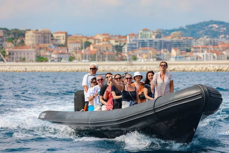
Why do cruise ships anchor in Villefranche
Today, the Bay of Villefranche is one of the three main cruise stopovers on the French Riviera, along with Cannes and Monaco. More than 200 cruise ships anchor there each year between April and October, carrying an average of 400,000 passengers to Nice and its hinterland.
Three criteria that require this site
The shipowners' choice is explained by three cumulative characteristics:
- The available depth A modern 70,000-ton liner requires a draft of 9 to 10 meters, and the largest cruise ships exceed 11 meters. The roadstead allows them to anchor less than a kilometer from the shore.
- The absence of strong currents The dead-end configuration protects ships from the Ligurian currents that run along the coast.
- Immediate proximity to the urban fabric passengers reach the port on foot by tender in less than ten minutes, compared to 30 to 45 minutes in most Mediterranean ports of call
No deep-water quays
Unlike Cannes or Monaco, Villefranche has never built a quay capable of directly accommodating cruise ships. All vessels anchor offshore and disembark their passengers by tender. This limitation preserves the character of the port, which retains its fishing village appearance despite the seasonal influx.
Coexisting with Traditional Fishing
The harbor still shelters about ten "pointus," the traditional flat-bottomed boats typical of the northwestern Mediterranean. Brotherhood of Saint Peter Fishermen, The company, founded in the 17th century, continues to manage the historic net quay, just below the chapel decorated by Jean Cocteau in 1957.
Reading the harbor from the boat: landmarks and points of interest
When entering the harbor from the sea, several landmarks appear one after another. Here's how to identify them in the order they appear.
West side: Mount Boron and Lazaret Point
The Lazaret point, at the foot of Mount Boron, owes its name to the health quarantine that was applied there in the 18th century. Ships suspected of carrying the plague were held there before being allowed to enter the harbor. The original building has disappeared, but a commemorative stele remains on the coastal path.
At the bottom of the roadstead: Villefranche and its citadel
The ancient village unfolds like an amphitheater on the northern slope. Three architectural elements dominate the silhouette:
- The Citadel Saint-Elme (1554-1557), recognizable by its star-shaped bastions and ochre stones
- The Saint-Pierre Chapel, also known as «Cocteau Chapel», on the fishermen's quay, decorated in 1956-1957 by the poet
- The’Church of Saint-Michael (18th century), whose square bell tower dominates the dim street
East side: the Cap-Ferrat peninsula
The bay is closed off to the east by the Saint-Jean-Cap-Ferrat peninsula. Several Belle Époque villas can be seen from the boat, notably the Villa Ephrussi de Rothschild, which dominates the peninsula at an altitude of 80 meters. To explore this area in detail, the’Boat trip from Nice to Saint-Jean-Cap-Ferrat around the entire perimeter.
Saint-Hospice Point
At the extreme south of the peninsula, Pointe Saint-Hospice is home to a medieval chapel, a monumental 19th-century cross, and a Belgian military cemetery. The site is only accessible on foot via the coastal path, or by anchoring a private boat offshore.
The Bay of Villefranche is a geographical exception before being a tourist site. Its underwater canyon, its double natural protection, and its dead-end shape have shaped its military and commercial destiny for five centuries, from Savoyard galleys to contemporary cruise ships.
And to enter by boat is to follow in the wake of successive fleets that have dropped anchor in this exceptional anchorage, from Charles II of Anjou to the American VI Fleet. A historical reading that complements the simple tourist view of one of the most beautiful bays in the Mediterranean.